Point cloud to gif
Utility to generate a rotating Gif image from a XYZ point cloud.
Tech: Python
Tags: <1k lines of code
Source: https://github.com/dsonyy/point-cloud-to-gif
What is it?
Point Cloud to GIF is a simple program which allows you to render plain text XYZ point clouds and save them to PNG files or create a rotating GIF animation. This piece of software was created primarily as part of Scan&Print - the project of a device which scans real physical objects, generates a point cloud from them and prepare 3D prinable files.
The program bases on really naive algorithms for manipulating point clouds so every action on big clouds may take some time. It’s not a professional software but a hobby project for creating nice GIFs ;)
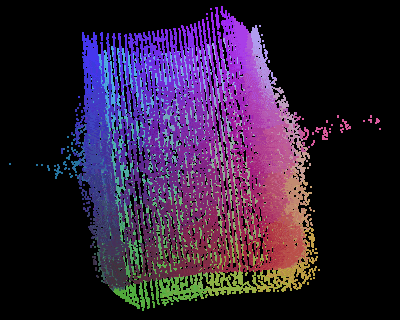
Gallery
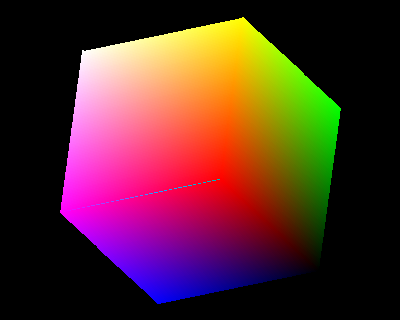
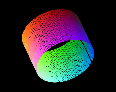

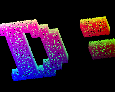
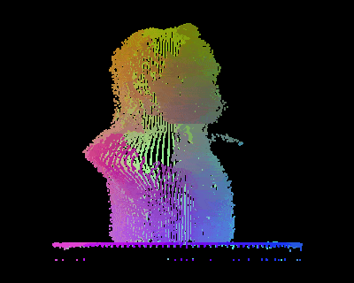
The point clouds from the last row are part of Scan&Print project!
Installation
- Install Python 3.
- Install Python dependencies from
requirements.txt. - Run
pc2gif.py.
Optional: This program can use gifsicle software for compressing GIF files before export. It’s not required but reduces output files size. You can get binaries for many operating systems from the project website: https://www.lcdf.org/gifsicle/. To be detected, gifsicle executable must be added to your system global path.
Usage
If you execute pc2gif, you will see something like internal command prompt. Below you can read more about how to use it.
Command list
Parameters between ( and ) are optional.
   Load filename            - Loads a point cloud from file.
   Move x (y)               - Moves a point cloud on the screen.
   Rotate x (y)(z)          - Rotates a point cloud around X, Y, Z axis. Specify angle in degrees.
   Save (filename)          - Saves a PNG file with the screen content.
   sCale scale              - Sets a point cloud scale on the screen.
   Gif (filaname) (frames)  - Saves a GIF file with an animation of rotating a point cloud around Y axis.
Note: You can use a single (highlighted by uppercase above) letter instead of full command name e.g.
    R 33.3 33.3
    C 2.5
    S export.png
About input files
Supported file format
This is an example of valid input point cloud:
0.90688896 ; 0.13263926 ; -5.49270248
0.01431680 ; 0.15915152 ; -5.49270248
1.47087491 ; 0.22544102 ; -5.49270248
...
- There must be only one XYZ point per line.
- Coordinates must be separated by
;. - Floating point numbers are allowed.
- Points may be unsorted.
Generating point clouds
You can easily generate such a file using for example CloudCompare software and Points Sampling on mesh tool.